Geospatial Technology Instructional Laboratory (GTIL)

This laboratory (Stevenson 2411) supports advanced instruction in the analysis of environmental data through computer-based specialty software programs.
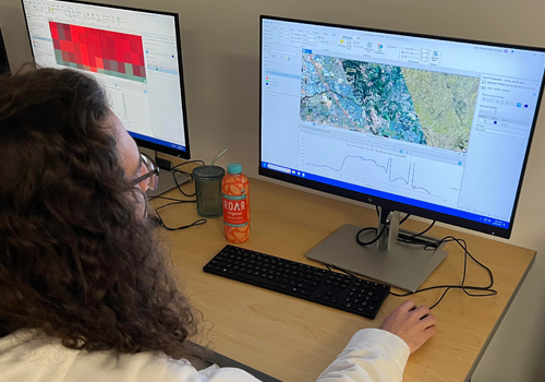
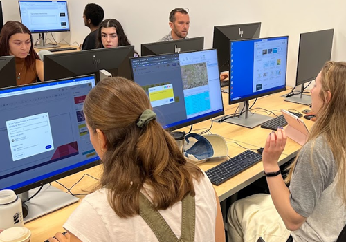
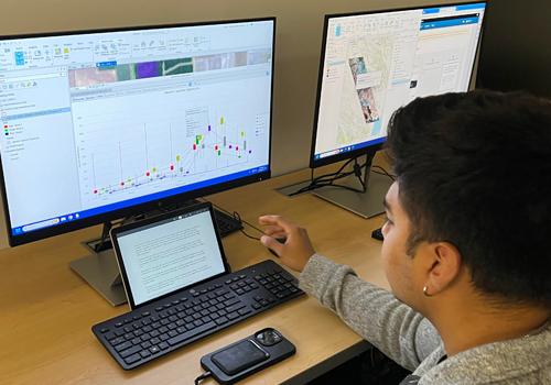
The lab's 25 workstations support several different programs, including ArcGIS Pro, QGIS, Adobe Illustrator, geobrowsers, R Studio, Anaconda, and Excel.
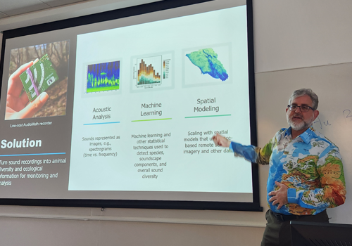
Director of the GTIL: Professor, Matt Clark
GEP Courses Utilizing This Space Include:
GEP 354 WATERSHED HYDROLOGY AND MANAGEMENT: This course focuses on the flow of water between Earth’s atmosphere, surface and the root zone of the soil, with a focus on the watershed unit. The hydrologic processes affecting surface and groundwater resources in a watershed, including precipitation, evapotranspiration, infiltration, and runoff will be examined in lectures and labs. Students work on an individual research project where they explore hydrological data and analysis.
GEP 380 ENVIRONMENTAL REMOTE SENSING: Environmental remote sensing uses imagery from satellite and airborne sensors to map properties of the Earth over broad spatial scales. This course develops an understanding of physical principles behind remote sensing, explores a range of sensors, spatial scales, and locations, and uses image processing techniques for extracting useful environmental information.
GEP 385 CARTOGRAPHIC VISUALIZATION: Map and graphic methods in geography: history, design, theory, and construction. Topics include selection of map projections, use of scales, generalization, data input and processing, color, visualization of spatial data, and map production. Emphasis is placed on effective communication through graphic design. Covers the increasing role of geographic information systems (GIS) in cartography. Also examines the collection of geographic data, such as with global positioning systems (GPS). Exercises guide students through increasingly complex methods of data collection and cartographic construction.
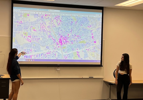
GEP 387 INTRODUCTION TO GEOGRAPHIC INFORMATION SYSTEMS: Geographic information system (GIS) technologies provide researchers and policy-makers with a powerful analytical framework for making decisions and predictions. As with any technology, the appropriate use of GIS depends greatly on the knowledge and skills of the user. This course addresses the scientific and technical aspects of working with geographical data, so that GIS users understand the general principles, opportunities, and pitfalls of recording, collecting, storing, retrieving, analyzing, and presenting spatial information. Both fundamental concepts and “hands on” experience with state-of-the-art software are incorporated through readings, lecture discussion, and laboratory assignments. The first half of the course focuses on the “nuts and bolts” of how a GIS works, while the second half concentrates on methods for spatial analysis and modeling.
GEP 388 ENVIRONMENTAL GEOGRAPHIC INFORMATION SYSTEMS: Environmental issues typically involve a range of physical, ecological and socioeconomic factors with complex interactions that span multiple spatial and temporal scales. Computer-based Geographic Information Systems (GIS) are particularly well-suited for describing, analyzing and modeling environmental problems and datasets, and the technology is widely used for local- to global-scale research, impact assessment, conservation planning and natural resource management. This course investigates a range of environmental problems through the unique perspective afforded by geospatial data analysis within a GIS. Lectures introduce the ecological, scientific and societal issues associated with major environmental issues of our time, such as land-use change, biodiversity loss, and global carbon emissions. These issues are then quantitatively analyzed with real-world spatial datasets using GIS-based methods and tools in coordinated laboratory exercises. In the process, students extend and strengthen GIS skills and concepts acquired through GEP 387.
GEP 486 ENVIRONMENTAL DATA ANALYSIS: This course will introduce students to environmental data (Atmospheric, Oceanic and Earths surface). Students will learn how to access, pre-process and analyze data using different statistical methods and geographic information systems (GIS). The course will also examine research questions that can be answered using these types of data and analyses. Lecture/Lab.
GEP 489 ADVANCED GEOGRAPHIC INFORMATION SYSTEMS This capstone course provides greater depth in Geographic Information Systems (GIS). Through lab exercises, students build GIS databases, perform geospatial analyses, and create maps. Students conduct an independent research project on a topic of their choice, gather the appropriate spatial data, conduct GIS analyses, and present their results.